
Author(s): Yakup KIZILELMA, Murat KARABULUT
The wetlands are the most important areas of the earth with their sensitive ecological structures. Each one of the wetlands is natural filters that are affecting the quality of hydrological resources positively. Although the fact there are lots of national and international institutions/organizations are active about protecting the wetlands, the wetlands have been removed as a result of industry, agriculture and urbanization with growing population. The pressure of human activities is still continuing over the rest wetlands. It is possible to reveal the size and potential results of this pressure from past to present with today's technology. The turbidity that is considered among the important parameters for determining the quality and characteristic of water in wetlands has importance also in terms of aquatic creatures and aquatic plants. Because of the change about the light transmission and amount of oxygen as a result of turbidity especially in lake areas, there have been significant decreases on photosynthesis level of the aquatic plants and other water creatures are affected negatively of this situation. The aim of this study is determining the characteristic structures of Akgöl, Paradeniz and Ku?u Lake with remote sensing techniques in delta Göksu which is protected within the scope of International Ramsar Convention. The index results applied to the satellite imaging obtained before and after the rain dated 9 May 2014 about 42,8 mm - this value is the second highest value recorded in May throughout the history of meteorological measurements in working area- According to the results, on the image after the rain, there has been significant changes about the turbidity of Akgöl, Paradeniz and Ku?u Lake.

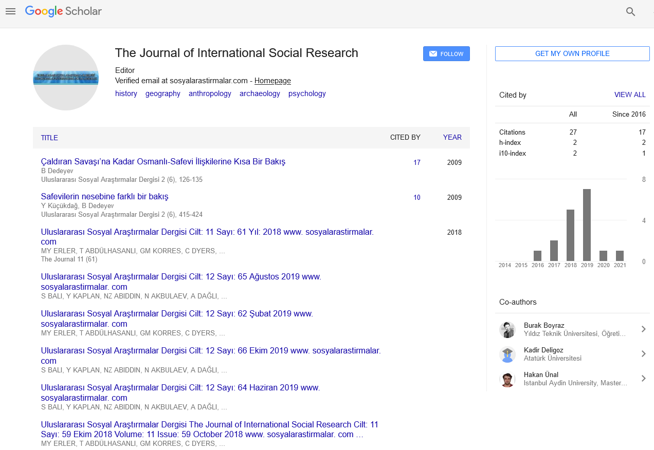
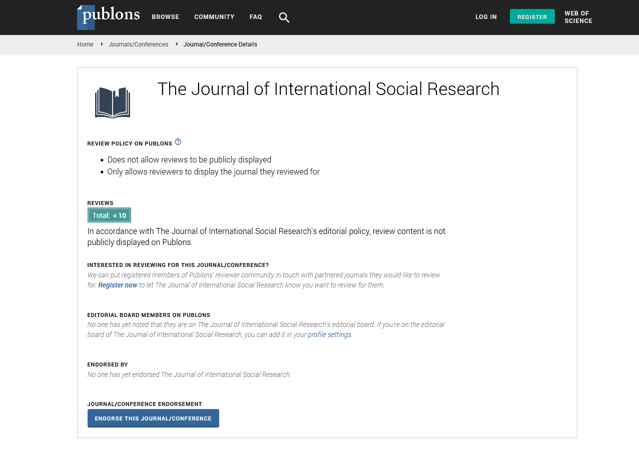
The Journal of International Social Research received 8982 citations as per Google Scholar report